
An eight-stage excursion itinerary that crosses the municipalities of Angrogna, Bobbio Pellice, Rora', Torre Pellice and Villar Pellice for a total length of about 120 km.
You will have the opportunity to become immersed in lush nature, but also visit the historic centre of each town, surrounded by the cultural and religious history, the religious and culinary tradition of each place.
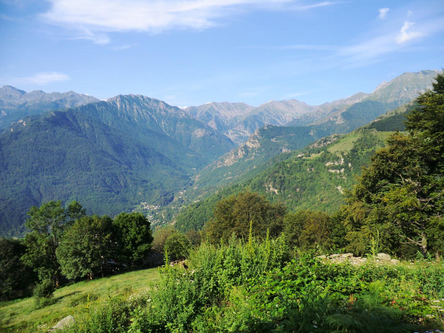
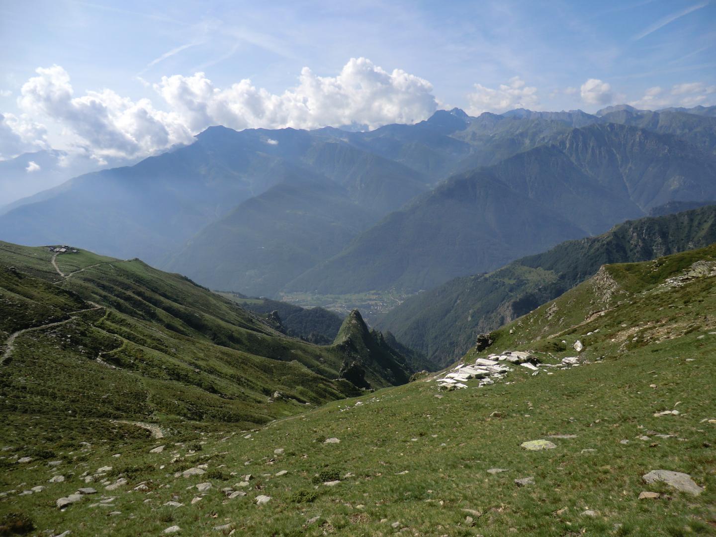
The itinerary is a circular multi-day hike in 8 stages, which passes through the municipalities of Angrogna, Bobbio Pellice, Rorà, Torre Pellice and Villar Pellice. The total length is about 120 km. The AVV Trail offers hikers the opportunity to experience alpine areas of outstanding natural and environmental interest. Hikers can access, or leave the Trail from any one of the municipalities it passes through, providing excellent opportunities to reach and explore the many villages en-route, and to find out more about the history and culture of the local area, as well as overnighting in local accommodation and opportunities to sample the local cuisine. In fact, many of these paths are strongly connected with the local history: the centuries-old history of the Waldensians, to which these mountains have been the backdrop, the communication routes with France to guarantee commercial exchange, the Resistance Movement during the Second World War. The alpine environment, with its centuries-old farming traditions, whose communities oftentimes are largely isolated from the cities and the plains far below, has enabled ancient customs and practices to endure. The local traditions, customs, and a way of life intimately linked to the surrounding environment have ancient origins, and the cultural, religious and linguistic variations to be found locally form a heritage that make these valleys a land rich in artistic expression. The area hosts several museums that explore many aspects of the cultural history of the valleys.
The itinerary for the most part follows trails of the GTA (Grande Traversata degli Alpi) long distance trail, as well as others within the Regione Piemonte Hiking Trails network. It is also connected at several points with long and medium-distance trails recorded in the National Land Registry of trails, with itineraries crossing national borders as well as a number of themed routes of a few hours duration, which have a specific educational purpose. These are well-equipped, and accessible for everyone and offer facilities for tourists.
Riepilogo
Via Repubblica, 1
10066 Torre Pellice TO
Italy
Via Repubblica, 1
10066 Torre Pellice TO
Italy