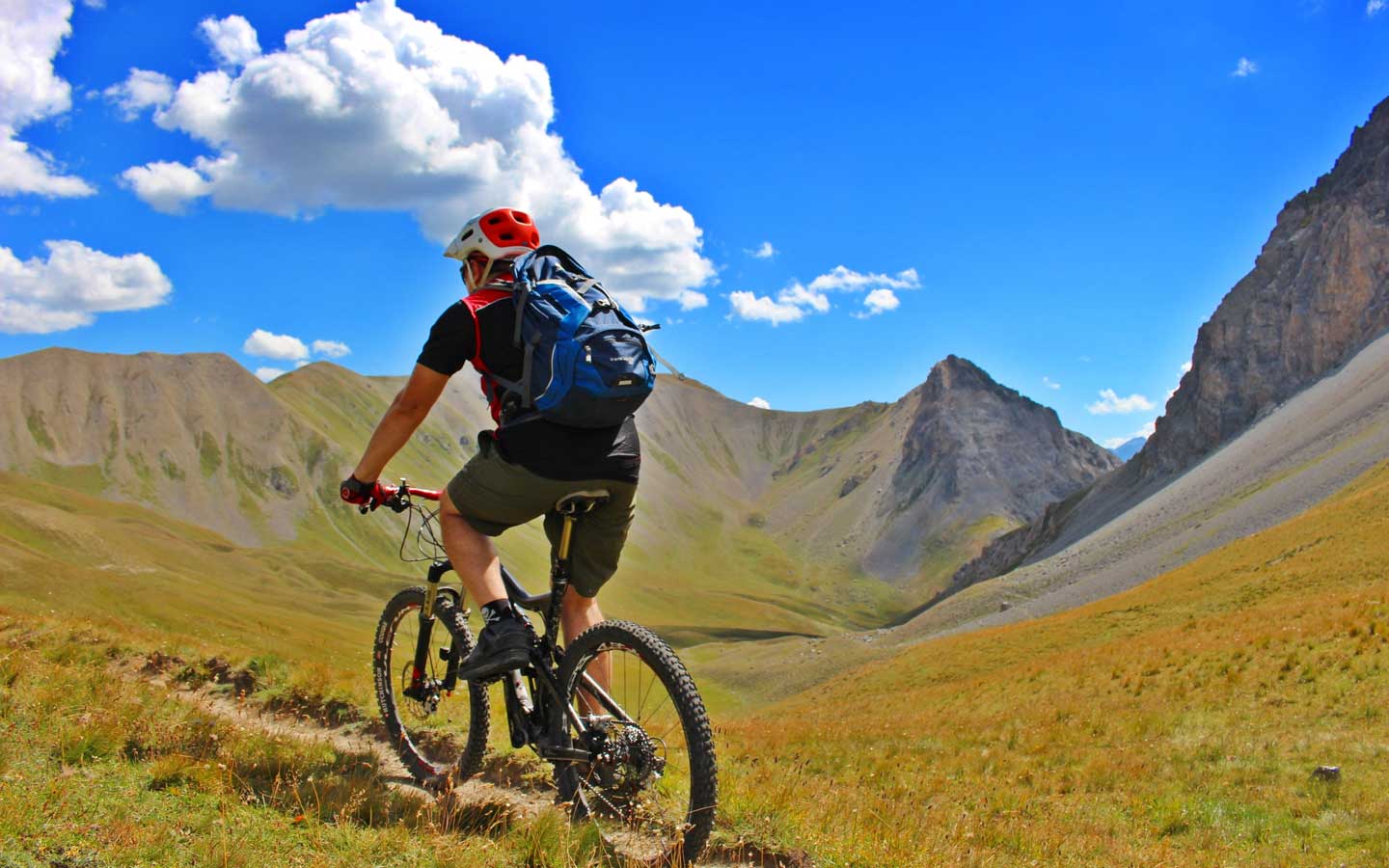
A route that is particularly demanding thanks to the long climbs that continue as we cross the mountains between Bardonecchia and Claviere and to the various stretches of portage, but with spectacular views. At the Bardonecchia railway station we start to climb towards punta Colomion from which we reach the Passo della Mulattiera at 2400m. From here we face a descent in French territory towards Chalets des Acles, where the second, tiring part of the route starts with a ride towards Vallon de l’Opon, a dirt track that leads to Col de Dormillouse and from here, with a traverse including stretches of portage, to Col de la Lauze, at an altitude of 2500m. Our descent to the Chaberton base leads us to Claviere, near the Tourist Office. We can return to Oulx on asphalt and head back to the departure point by train.
Italy
Italy
