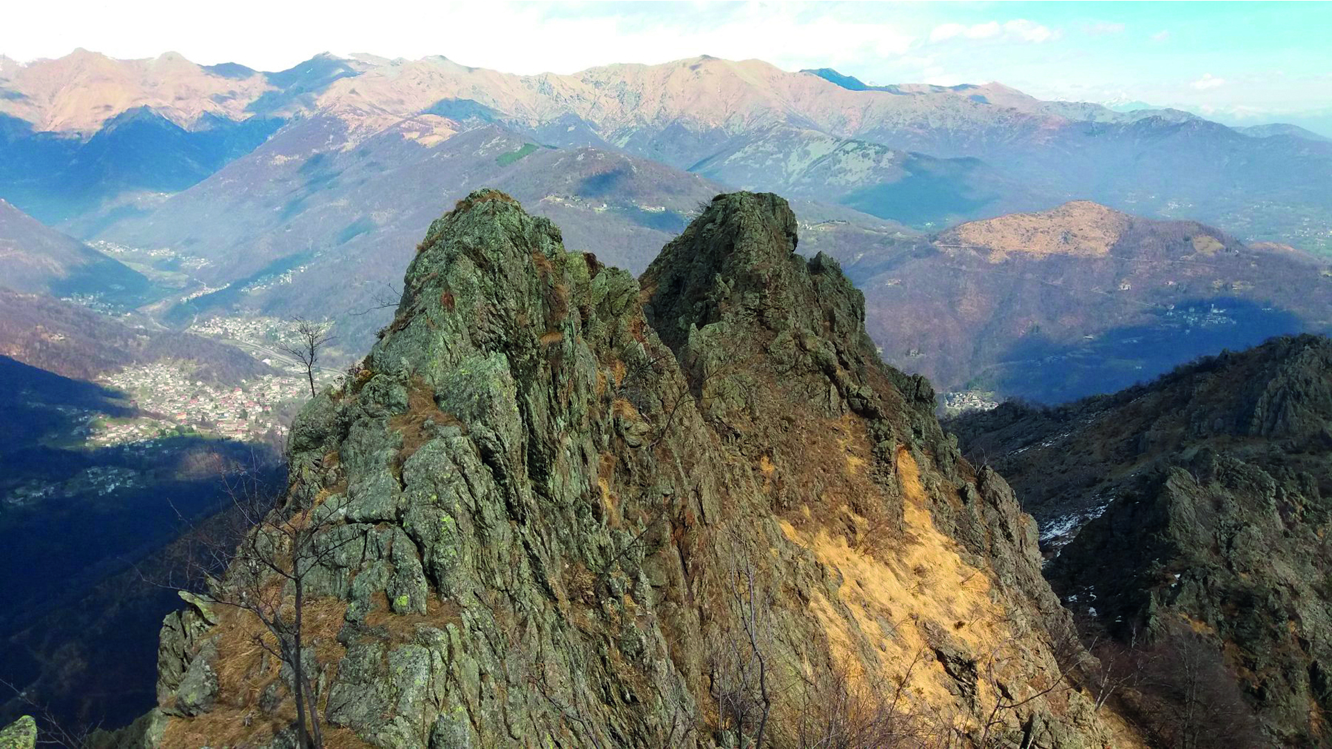
The itinerary along the slopes of the Uja of Calcante, a very picturesque peak that rises geographically in the center of the Lanzo Valleys and which, with its profile that is always recognizable, accompanies the panoramic views throughout the various stages of the itinerary. The route initially consists of medium-low altitudes and goes through hamlets and places of cultural and religious interest; then it reaches higher altitudes up to alpine lakes, pastures and ends up in the Viù Valley where trekkers meet the Decauville railway facilities, dating back to the beginning of the twentieth century, used in the construction of reservoirs and hydroelectric plants which are still active today.
The hiking route TREK CALCANTE (TC) is so named because it is largely developed along the slopes of the Uja di Calcante, a very impressive peak that rises in the center of the Valleys of Lanzo that with its unique profile accompanies the panoramic views along the various stages of the itinerary. Starting from the Ponte del Diavolo Park of Lanzo, the route begins at medium low altitudes, and crosses the territory of Middle Valley, numerous villages, places of cultural and religious interest, woods and streams. In the intermediate stages it reaches higher altitudes, and encounters groups of alpine lakes, vast pastures active in the summer. The final stretch extends in the Valle di Viù. It extends among forest areas, panoramic parts, and in the final stage runs along the old railroad infrastructure decauville of the beginning‘900, which was used during the construction of the reservoirs and hydroelectric power plants. Thanks to the complex and varied nature of the route, the stage places offer very different opportunities. They consist partly of both small tourist and agritourist structures, with the typical architecture of the villages on the territory; from private Refuges that stand at the foot of the mountain pastures. For a most intense and adventurous experience, bivouacs, always open are available to hikers travelling in high mountain. The paths runs on marked trails or footpath and partly on a dirt road, that lead to alpine pastures, and on forest tracks. You can go along these tracks without any particular equipment, during the optimal period (May/June to October), but the length and height difference of some stages require a good training. Although the stages run from east to west, in a progressing increasing altitude, you can choose your direction of the itinerary, consider though that the tendency of the stretches is of greater ascent in the direction from east to west, while to the opposite one, the stages gradually reduce in intensity and fatigue required. This itinerary offers the possibility to connect and vary the route, putting together, for example, the starting point of Lanzo and the Anello Ceronda. This variation can become an alternative extension; while on the territory of Usseglio you can connect the GTA and with the tour of Alta Via delle Valli di Lanzo. For those who want to extend westward, they can rejoin to the Tour della Bessanese and France.
Riepilogo
10074 Lanzo Torinese TO
Italy
10070 Usseglio TO
Italy